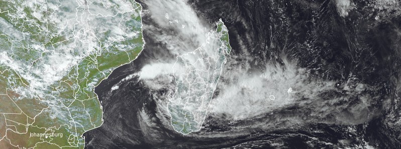
Tropical Cyclone “Cheneso” formed around 12:00 UTC on January 18, 2023, as the fourth named storm of the 2022/23 Southwest Indian Ocean cyclone season and made landfall around 07:45 UTC (10:45 LT) on January 19, north of the city of Antalaha in northern Madagascar with maximum sustained winds of 90 km/h (55 mph) and gusts up to 120 km/h (75 mph).
The National Bureau of Risk and Disaster Management (BNGRC) reports that the storm has caused 3 deaths, 6 missing individuals, about 7 240 displaced people, and 13 180 people affected.
Additionally, nearly 4 000 houses and 85 classrooms have been damaged or destroyed, and several settlements are isolated due to damage to road sections.
The weather is expected to remain disturbed at least until the middle of this week, with the potential for widespread flooding and landslides due to sustained heavy rains.
The tropical storm is preparing to move out to sea today, however, it has the potential to re-intensify into a tropical storm over the next 3 days.
It is important for those in the affected area to stay informed and take necessary precautions.
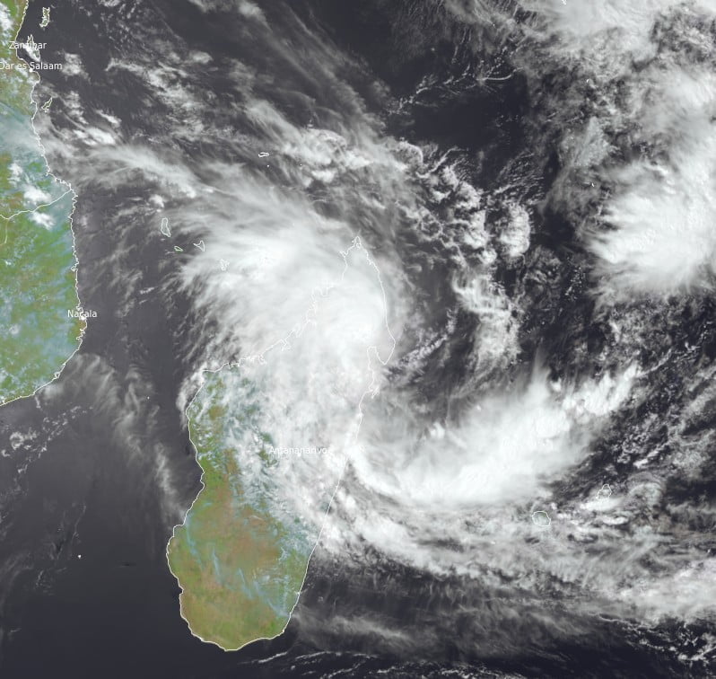
This is the fourth named storm of the 2022/23 Southwest Indian Ocean Cyclone season and the first to impact Madagascar.