


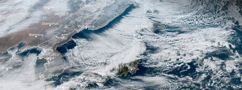
Heavy sea-effect snow and the coldest air mass of the season are affecting Japan this week, forcing authorities to issue blizzard warnings for parts of the country.
On Wednesday, December 14, The Japan Meteorological Agency (JMA) warned people to be on alert for violent winds, high waves, and disruptions to public transportation and traffic caused by blizzards and snowdrifts.
Maximum instantaneous wind speeds of 122 km/h (75.8 mph) were recorded in Sakata City, Yamagata Prefecture on December 14, followed by 104 km/h (64.6 mph) in Niigata City.
Sukayu in Aomori Prefecture, known as the snowiest place in Japan, accumulated 145 cm (57 inches) of snow on the ground by December 15 — 132% of normal.
On the same day, Shumarinai recorded 127 cm (50 inches) of snow on the ground — 117% of normal, and Hijiori 97 cm (38.2 inches) — 146% of normal.

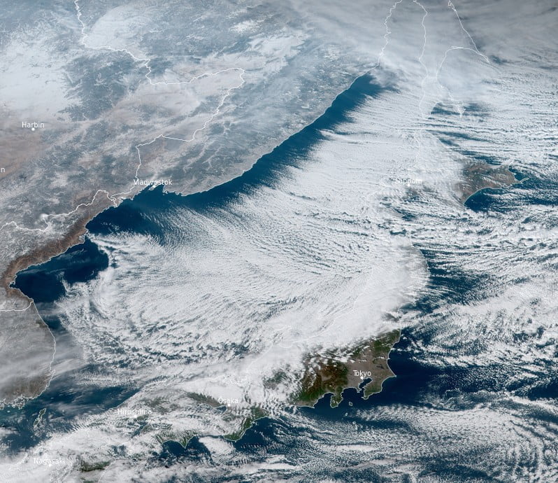
Heavy sea-effect snow continued into Friday, December 16.
In 48 hours, Hijiori registered 134 cm (52.7 inches), surpassing the previous December record of 107 cm (42.1 inches).
During the same period, Obanazawa recorded 104 cm (40.9 inches) — also setting a new December record, while Shinjo recorded 89 cm (35 inches), making it an all-time record and 390% of normal.
The record-breaking snow comes after the country experienced its warmest autumn (September – November) since records began in 1898.


