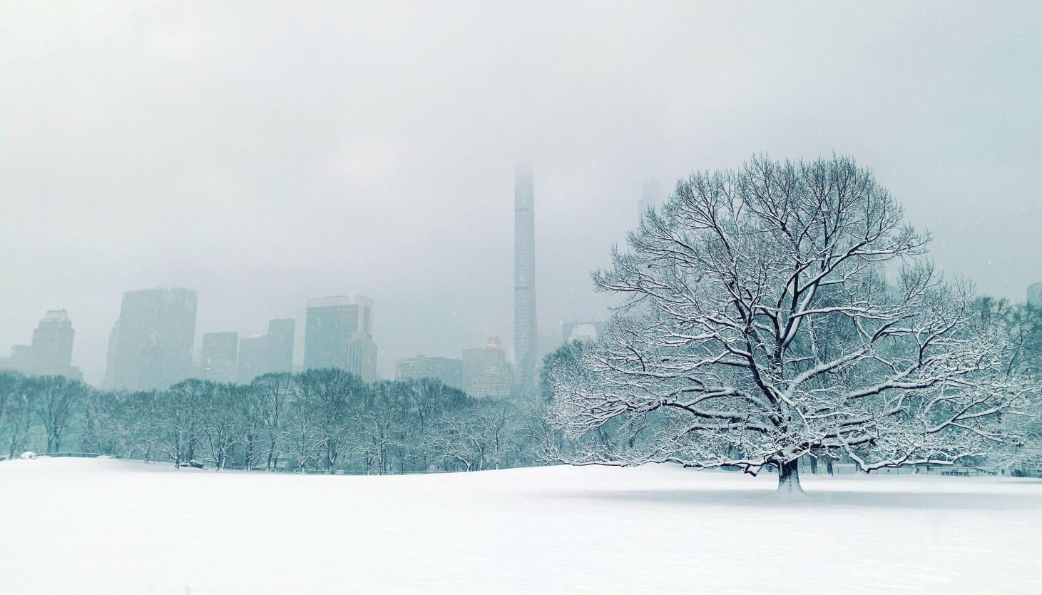
Our boots, shovels and snowblowers have seen a different kind of accumulation on them so far this winter: dust. Snow, on the other hand, has been almost completely absent in New York City since winter began almost a month ago. In fact, KNYC, as the National Weather Service refers to the Central Park weather observation station, has reported zero measurable snowfall over the last 316 days, since March 9, 2022.
The drought of snow is approaching records as the city cruises toward the end of January with a brown landscape and a seemingly endless deluge of rainfall events. Here are some eye-opening statistics:
- Thursday was the 316th consecutive day without measurable snowfall, the fourth-longest streak since record-keeping began in 1869. The all-time record is 332 days, a period that ended on Dec. 15, 2020.
- With zero measurable snowfall anticipated over the next five days, the current streak is almost certain to move up to the second-longest streak on the list.
- NYC is also approaching the latest date for the first snowfall since recordkeeping began. The current record is Jan. 29, 1973, which went on to become the least-snowy winter in NYC history, with just 2.8 inches total snow accumulation.
From a meteorological perspective, the snow drought grows more impressive by the day. Still, there’s no specific weather phenomenon that can be identified as the root cause. There are plenty of reasons to go around. In December, NYC observed several days of impressive cold as temperatures plummeted 20 degrees below normal. The weather pattern around that cold air mass didn’t cooperate to produce a storm system, and as a result we left that air mass without any snow to show for it.
Since then, the pattern has been dominated by a strong Pacific jet. When the jetstream in the Pacific Ocean strengthens and extends, it typically brings mild air and lots of moisture with it. This instance was no different, with the Pacific jet leading to historic rainfall in California and bouts of record-breaking warmth in the eastern U.S. over the past few weeks.
The thing with cold is that it needs to be committed to result in snow. Fleeting cold air masses do no good in terms of winter storm potential. Historically, NYC’s snowstorms are dominated by cold air, which is locked in by a strong high pressure to our north. These areas of high pressure allow moisture to move into NYC while keeping the cold in place to ensure that precipitation falls as snow. Those important high-pressure systems have simply not been there so far this winter, which has led to bouts of cold that move away just in time for storms to reach our area.
The weather pattern in place over the next week or two doesn’t look quite as hostile for snowfall as it has lately, but it also doesn’t look particularly favorable either. There are a few waves of low pressure approaching the area next week that will need to be watched, but the same high pressure that’s been missing all year is absent on forecast model guidance once again.
At this point, it’s a very real possibility that NYC will flirt with breaking both records discussed above — both the longest number consecutive days without measurable snow, and the latest-arriving measurable snow in a winter season. We are respectively 10 and 16 days away from breaking those records.