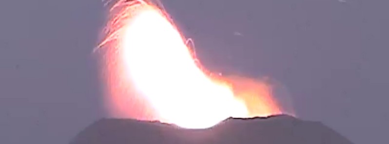
Intense strombolian activity continues at Villarrica volcano, Chile, with lava fountains reaching up to 150 m (490 feet) in height. The Alert Level remains at Yellow (the second lowest level on a four-color scale).
SERNAGEOMIN reported that activity at Villarrica had increased in recent weeks, with explosions ejecting material almost as far as 480 m (1 570 feet) from the crater. This is near the extent of the 500 m (1 640 feet) exclusion zone in place around the crater.
The exclusion zone was increased to 1 km (0.6 miles) as a preventative measure on January 6, 2023. ONEMI maintains the Alert Level at Yellow (the middle level on a three-color scale) for the municipalities of Villarrica, Pucón (16 km / 10 miles N), Curarrehue, and the commune of Panguipulli.1
Vigorous lava fountaining was reaching a height of about 125 m (410 feet) on January 13 and up to 150 m (490 feet) on January 15.
The activity further intensified on January 16, with about 70 lava fountains registered in a matter of 9 hours, surpassing a height of 150 m (490 feet) above the crater.
According to locals, vibrations produced by the eruption were reported about 8 km (5 miles) from the volcano.
The Alert Level for Villarrica volcano was raised from Green to Yellow on November 8, 2022. The decision was made due to increased activity detected at the volcano over the past 30 days.
The current eruptive episode began in December 2014 (VEI 3).
Geological summary
Glacier-clad Villarrica, one of Chile’s most active volcanoes, rises above the lake and town of the same name. It is the westernmost of three large stratovolcanoes that trend perpendicular to the Andean chain.
A 6-km-wide (3.7 miles) caldera formed during the late Pleistocene. A 2-km-wide (1.24 miles) caldera that formed about 3 500 years ago is located at the base of the presently active, dominantly basaltic to basaltic-andesitic cone at the NW margin of the Pleistocene caldera.
More than 30 scoria cones and fissure vents dot the flanks. Plinian eruptions and pyroclastic flows that have extended up to 20 km (12.4 miles) from the volcano were produced during the Holocene.
Lava flows up to 18 km (11.2 miles) long have issued from summit and flank vents.
Historical eruptions, documented since 1558, have consisted largely of mild-to-moderate explosive activity with occasional lava effusion. Glaciers cover 40 km2 (15.4 mi2) of the volcano, and lahars have damaged towns on its flanks.2
1 Global Volcanism Program, 2023. Report on Villarrica (Chile). In: Sennert, S K (ed.), Weekly Volcanic Activity Report, 4 January-10 January 2023. Smithsonian Institution and US Geological Survey.
2 Villarrica – Geological summary – GVP

