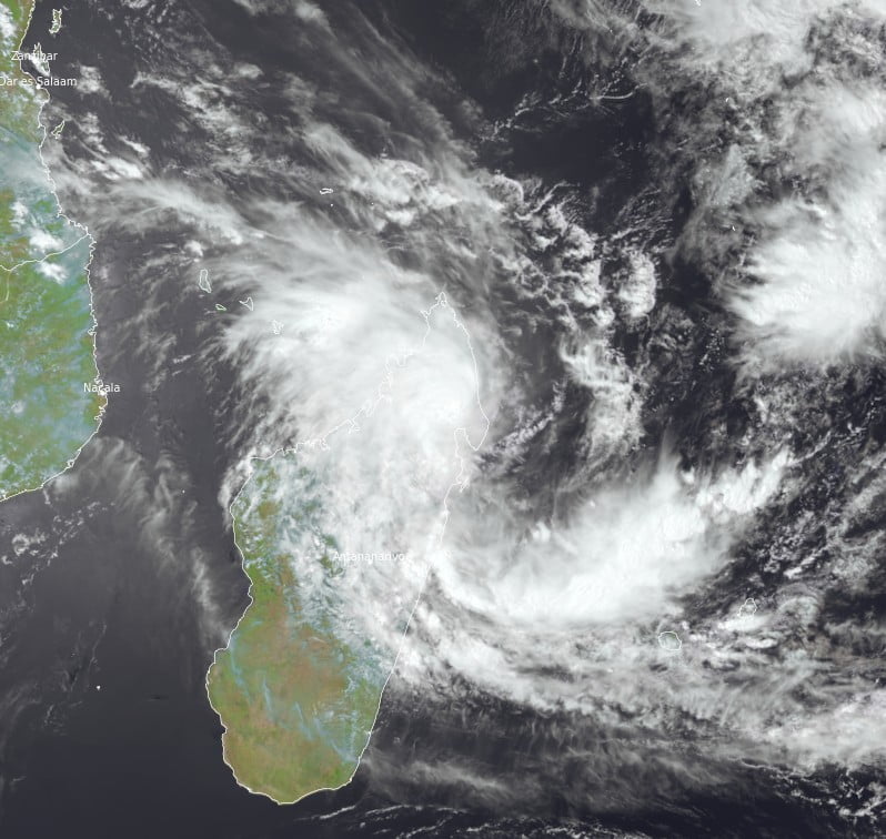
Tropical Cyclone “Cheneso” formed around 12:00 UTC on January 18, 2023, as the fourth named storm of the 2022/23 South Indian Ocean cyclone season.
The system intensified further into a severe tropical storm, moving westward toward Madagascar.
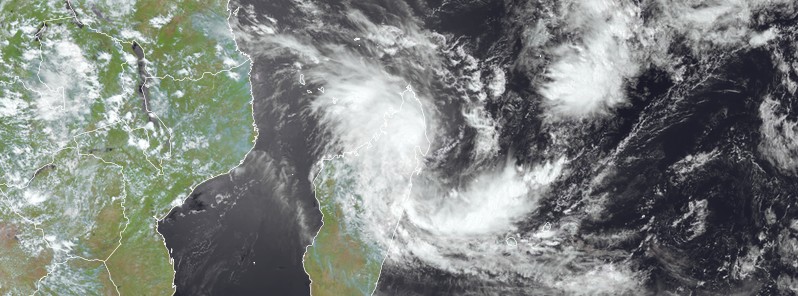
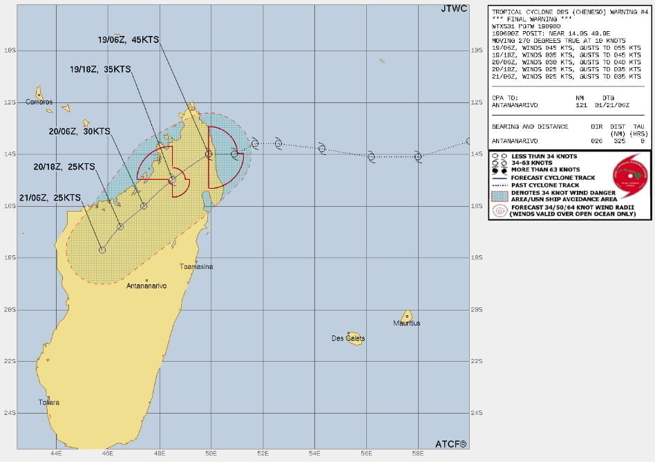
At around 07:45 UTC (10:45 LT) on January 19, Cheneso made landfall north of the city of Antalaha in northern Madagascar with maximum sustained winds of 90 km/h (55 mph) and gusts up to 120 km/h (75 mph), according to Meteo Madagascar.
Even though Cheneso weakened after making landfall, wind gusts are still expected to cause harm or destruction when it comes to homes and infrastructure located in Sava and Analanjirofo districts.
Red alerts have been issued for those areas as well as Dana Region due to heavy rainfall (100 – 200 mm/ 4 – 8 inches in 24 hours) and high winds predicted from January 19-20.
Additionally, there is an elevated risk of flooding occurring in towns and regions that are prone to such events, particularly those in the northeast, highlands, and eastern coasts.
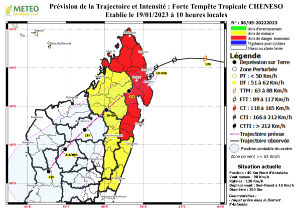
The heavy rains could extend over Boeny and the central lands and could persist until Sunday, January 22.
Maritime users between Cap d’Ambre and Mahanoro are therefore asked not to venture out to sea until the danger has completely passed.